Winkelwagen
Log in met je NBD Biblion webshop account om je winkelwagen te bekijken.
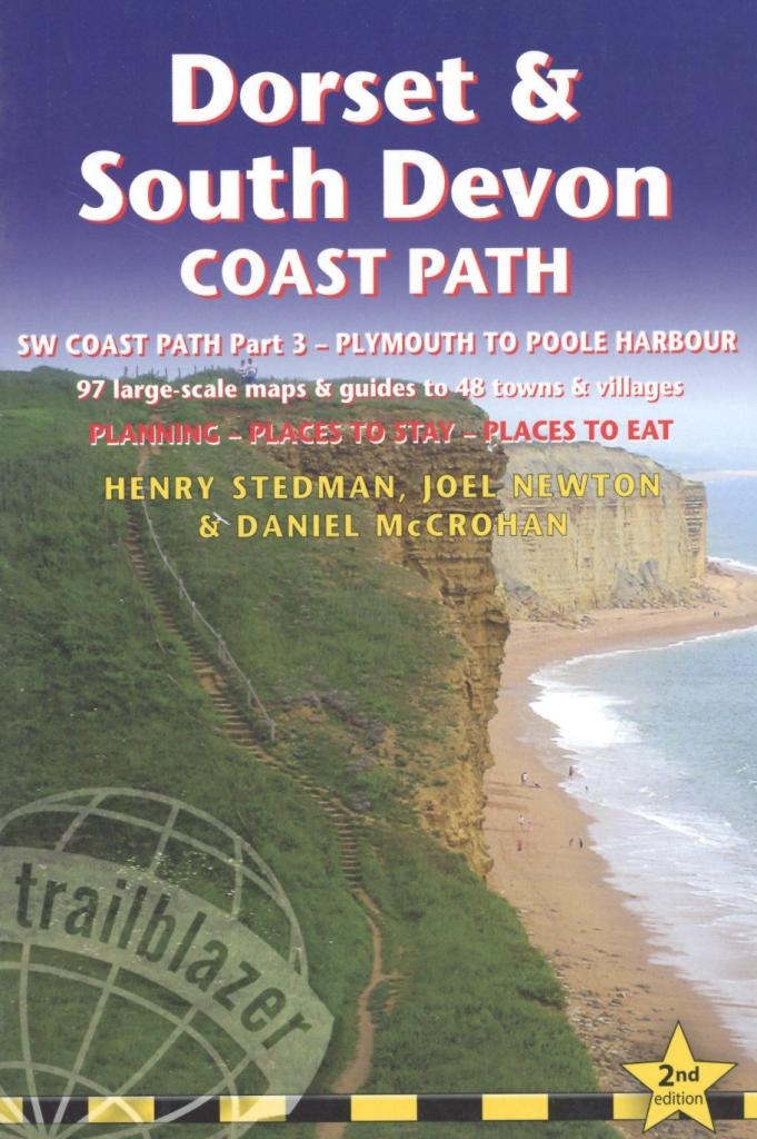
SW coast path
SW coast path
Specificaties
Mediumsoort
Boek
ISBN
9781905864942
Jaar van uitgave
2018
Taal
Engels
Categorie
Non-Fictie
Leeftijdsgroep
Volwassenen
SISO
995.3 - Gidsen en kaarten
Moeilijkheidsgraad
Moeilijk
Reeks/Serie
British walking guides
Uitgever
Trailblazer Publications
Editie / Druk
Second edition
Aantal pagina's
325 pagina's, 14 ongenummerde pagina's platen
Hoogte
179
Breedte
121
Aantal banden
1
Bestelnummer
2018120506