South Downs Way

South Downs Way

    Mediumsoort
    Boek
    ISBN
    9781905864935
    Jaar van uitgave
    2018
    Taal
    Engels
    Categorie
    Non-Fictie
    Leeftijdsgroep
    Volwassenen
    Onderwerp / PIM
    Landen en Volken
    SISO
    995.3 - Gidsen en kaarten
    Moeilijkheidsgraad
    Gemiddeld
    Uitgever
    Trailblaze Publications
    Editie / Druk
    Sixth edition / researched and updated b
    Aantal pagina's
    192 pagina's, 12 ongenummerde pagina's platen
    Hoogte
    179
    Breedte
    121
    Aantal banden
    1
    Bestelnummer
    2018120505
    Aanschafinformatie

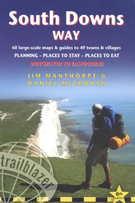
    De 'South Downs Way' is een 160km lange route over de krijtheuvels van Winchester in Hampshire door Sussex naar Eastbourne aan de zuidkust van Engeland. Het handige, Engelstalige boekje biedt alle informatie die je ervan kunt verwachten: van een tekstuele routebeschrijving met gekleurde 1:25.000 O.S. kaarten tot aan een overzicht met accommodaties van vier bladzijden toe. Omdat de route, zeker voor Britse begrippen, zeer goed gemarkeerd is, zal je alleen als je van het pad wil/moet afwijken een aanvullende kaart nodig hebben. Opvallend is dat de auteur de lezer diverse keren ten sterkste aanraadt om er geen prestatieloop van te maken, maar om vooral te genieten. Met register. Kleine druk.

    Uitgeversinformatie

    The South Downs Way is a 100-mile National Trail footpath which follows the line of chalk hills stretching from Winchester to Eastbourne in southern England. Walking the length of the Downs is the best way to experience this beautiful landscape with its mixture of rolling hills, steep hanging woodland and windswept fields. You'll also pass through picture-postcard villages with welcoming pubs, thatched cottages and country gardens.
    82 Maps: 60 large-scale walking maps - 1:20,000 (3-1/8 inches to 1 mile) - the largest-scale maps available, 11 town plans, 10 stage maps with trail profiles showing hills and descents, and 2 overview maps. Detailed accommodation with reviews: B&Bs, campsites, pubs, hotels, bunkhouses. Where to eat with reviews: cafes, teashops, pubs, takeaways and restaurants. Comprehensive public transport information with frequency of services for all access points on the Path. Downloadable GPS waypoints. Itineraries for all walkers, whether hiking the entire route or sampling highlights on day walks, weekends or short breaks. Unique mapping features - walking times, directions, tricky junctions, places to stay, places to eat, points of interest written onto the maps. Flora and fauna - four page full colour flower guide, plus an illustrated section on local wildlife. Green hiking - understanding the local environment and minimizing our impact on it.