Cleveland way

Cleveland way

    Mediumsoort
    Boek
    ISBN
    9781905864911
    Jaar van uitgave
    2019
    Taal
    Engels
    Categorie
    Non-Fictie
    Leeftijdsgroep
    Volwassenen
    SISO
    995.3 - Gidsen en kaarten
    Moeilijkheidsgraad
    Moeilijk
    Uitgever
    Trailblazer Publications
    Editie / Druk
    First edition
    Aantal pagina's
    189 pagina's
    Uitvoering boek
    Ingenaaid
    Hoogte
    180
    Breedte
    120
    Aantal banden
    1
    Bestelnummer
    2019104838
    Aanschafinformatie

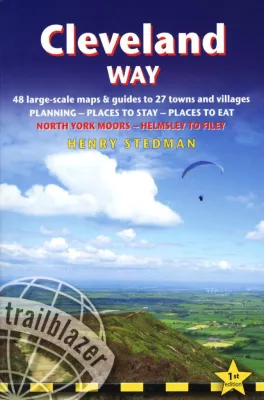
    De 'Cleveland Way' loopt in Yorkshire van Helmsley naar Fileyur en is 128 km lang. Deze prachtige route voert door het nationale park North Yorkshire Moors, langs de kust bij Saltburn-by-the-sea, door idyllische dorpjes en langs oude kastelen en abdijen. Het handige, Engelstalige boekje biedt alle informatie die je ervan kunt verwachten: van een tekstuele routebeschrijving met gekleurde 1:20.000 O.S. kaarten. Accommodaties worden per etappe aangegeven. De route wordt gedetailleerd aangegeven, en er is veel aandacht (en respect) voor de flora en fauna van het gebied. Met register en te downloaden GPS waypoints. Kleine druk.

    Eerste druk.

    Uitgeversinformatie

    The 'Cleveland Way' is a National Trail set in the beautiful wild countryside of the North York Moors National Park. It runs 107.4 miles (127.9 km) from Helmsley near Thrisk around the western edge of the park to reach the coast at Saltburn-by-the-Sea. It then continues along the eastern edge of the park south down the coast through Whitby, Robin Hood's Bay and Scarborough to finish in Filey.
    Combining moorland and coast, there's wonderful scenic variety to this walk, with crumbling castles and idyllic fishing villages to explore.